 |
| In this low aerial shot, both Appleby stations can be seen. The Eden Valley line is on the right |
When the Settle to Carlisle finally rolled into town in 1876 Appleby gained a second station at Appleby West courtesy of the Midland Railway just a schoolyard away from the NER’s Appleby East offering of 1862, though there was nothing unique in that during railway mania. Appleby West was very slightly less inconvenient a location for a station, and topography dictated the S&C route north out of Appleby via the gap between Castrigg Hill and High Moor via a cutting if the Midland’s engineers were to keep to their maximum gradient of 1 in 100. Thomas Bouch probably considered such a road to be almost flat!
 |
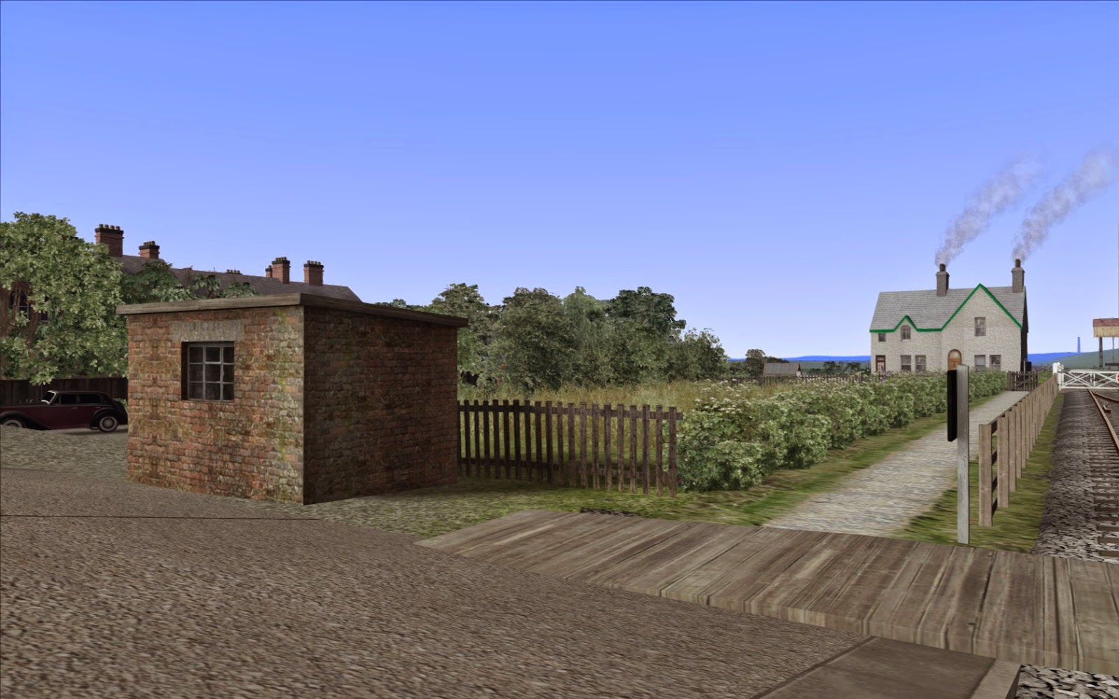
| Road crossing at Appleby East. The Midland station can be see in the distance |
The lines were connected from a junction just north of the Midland’s platforms, via a reverse
 |
| The link between the EVR and S&C at Appleby |
curve dropping down at around 1 in 70 joining the EVR’s “double track section” (though “loop” is probably more rational!) to Midland Junction where the single line token section to Kirkby Thore commenced, and the EVR ducked under the S&C and followed the River Eden to Temple Sowerby.
There is logic to the connection for the exchange of freight heading to and from West Cumberland via Penrith and Keswick, though such traffic could also be routed via the Low Gill and Tebay. The connection was certainly used for diversions from Carlisle when the S&C was shut for engineering or snow (there’s a lovely shot of a Jubilee taking the token at Kirkby Thore with the Thames Clyde Express) and there was at least one Penrith – Appleby working that turned at Appleby West.
A little known oddity was a southbound link from the S&C, running parallel to Drawbriggs
 |
| The Missing Link. Was track ever laid? |
Lane and passing under Cross Croft and joining the EVR heading for Warcop. The bridges and cuttings are clear to see today, though the bridge has been filled and what I believe is a dairy occupies most of the site north of Cross Croft. The existence of the connection is controversial with both Walton and Western doubting that track was laid.
The OS County Map of 1899 shows a double track connection, but the 1915 map shows as dismantled. The railway atlases of Jowett makes no mention, and the definitive work of Colonel Cobb (which typically changes hand for £600-£700, though we live in hope of a reprint) also makes no mention.
For the purpose of the route, I’ve modelled the disused trackbed, but if anyone has any information as to whether track was laid and/or when it was lifted, another riddle of the line could be solved.
Let us conclude this post with some more WIP images. We begin with a brief reminder of the most famous section of line - the summit and Belah Viaduct:
 |
| The bleak summit with the water tank now modeled |
 |
| The spectacular viaduct at Belah. In this shot we look east, up the gradient towards the summit. |
 |
| Looking west to Kirkby Stephen East station |
 |
| Kirkby Stephen Junction. The Stainmore route heads off to the left, whereas the EVR bares right. We are hading along the EVR today |
 |
| Musgrave |
 |
| Copeland Viaduct |
 |
| Appleby East |
 |
| Looking west towards Kirkby Thore from the token exchange |
 |
| Temple Sowerby looking west |
 |
| Looking north at Skygarth viaduct |
 |
| The EVR draws alongside the West Coast Mainline near Penrith. The Junction can be seen in the distance |
More soon . . . . . . . . . .


.jpg)

